In December, a Pan American Trails team went to the ground across Ecuador’s ecological corridors to ask a simple question with complex implications: what needs to be in place before trails invite more people in?
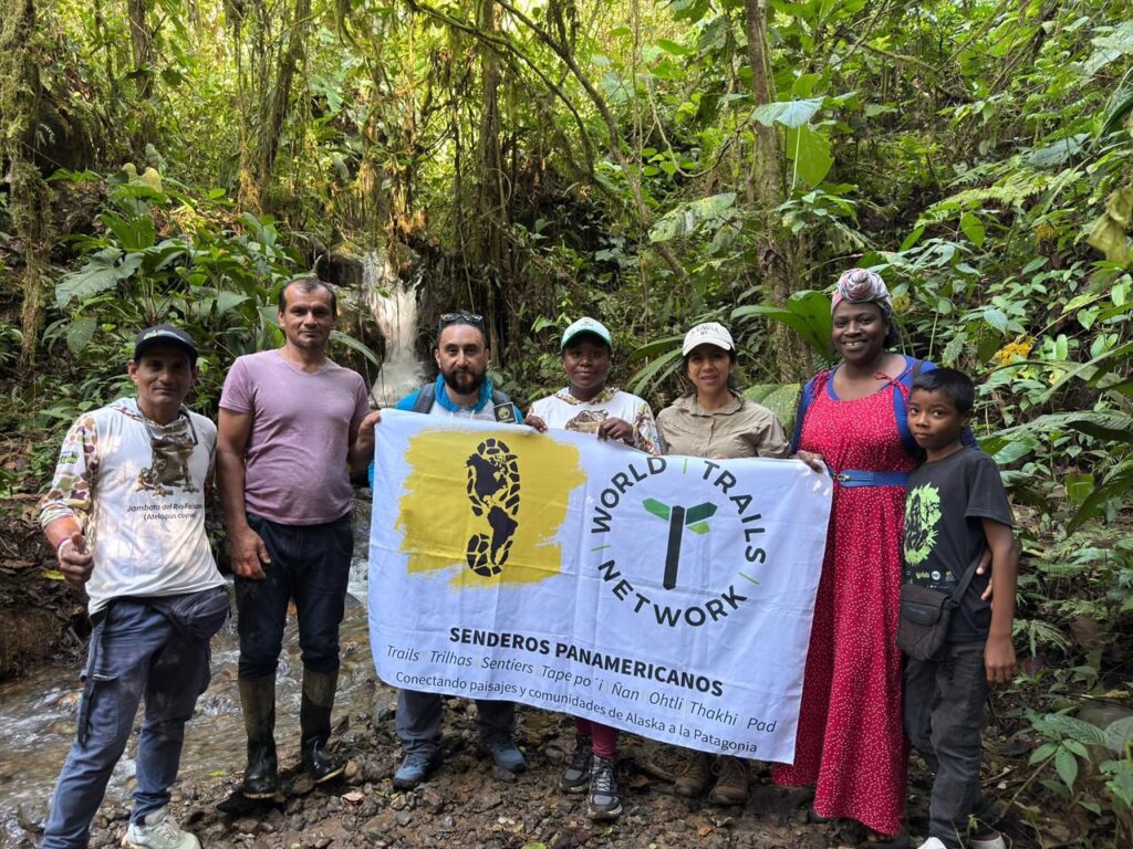
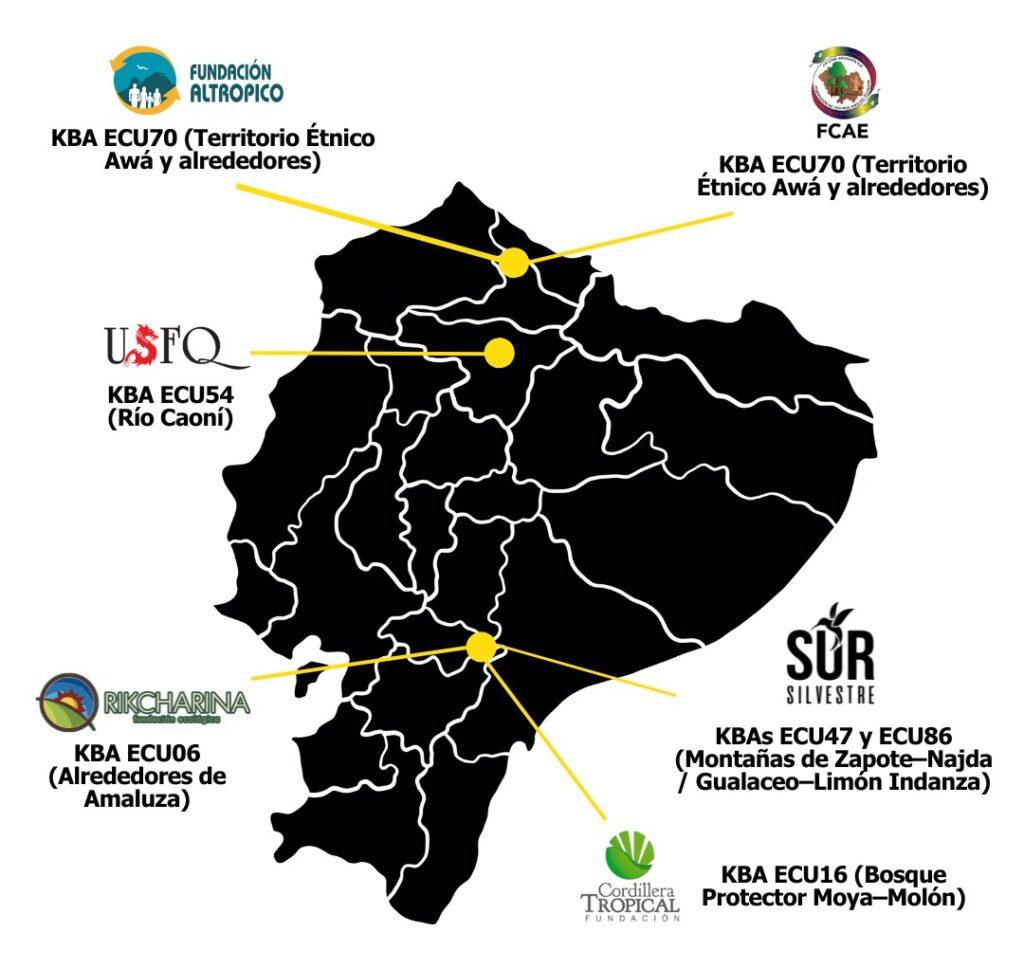
Over several weeks in December, technical field visits unfolded across multiple Key Biodiversity Areas (KBAs) embedded within, biological corridors from the Andean Chocó to the southern Andes and into Awá Territory. The visits formed part of the project Strengthening Ecotourism Capacity in Six KBAs in Ecuador, and were carried out by César Aspiazu, Pan American Trails International Projects Manager, and Sebastián Sierra, Pan American Trails Ecuador Project Manager, working alongside local organizations, community leaders, and conservation partners.
The team tested ideas against real terrain, real governance structures, real risks, and real expectations. What emerged was not a list of “ready” or “not ready” sites, but a pattern that cut across landscapes and cultures: trails do not exist in isolation. They traverse watersheds, corridors, territories and communities . And while access opens opportunities, management decides whether those opportunities endure.
Corridors First
Across all visits, one principle held steady: thinking in corridors (both trail and biological corridors) matters more than thinking in individual trails.
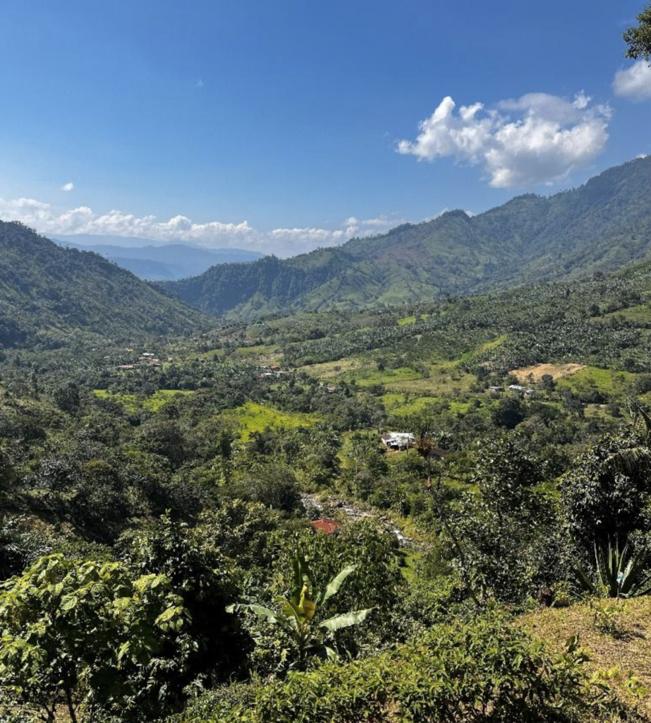
The Caoní River watershed lies within the Andean Chocó biological corridor and has been prioritized as KBA54 – Río Caoní, recognizing its exceptional biodiversity, ecological connectivity, and importance for both terrestrial and freshwater systems.
Here, trails already stitch together farms, reserves, community initiatives, and forest fragments. Community participation runs deep. Visitation remains manageable. This combination creates a rare window: the chance to plan before pressure builds. In the Caoní, this corridor logic follows the river itself: a watershed-scale system where trails, farms, reserves, and communities align along hydrology, not property lines.
A similar dynamic appears in Chinambí, within Awá Territory, where multiple farms, waterfalls, and interpretive routes cluster within a single ecological system. The diversity of experiences signals opportunity, but also complexity. Multiple entry points can quickly mean conflicting rules unless governance keeps pace. Chinambí’s challenge is not lack of interest or value, but organizational complexity: many access trails, uneven signage, and terrain risks (landslides) mean that coordination and safety, not promotion, will determine whether growth remains manageable.
The Awá Territory is part of the Chocó–Darién biological corridor, and falls within KBA ECU70, an area recognized for its intact forest cover, high endemism, and the central role of Indigenous governance in conservation.
In both places, the advantage lies not in infrastructure, but in timing. These corridors can still decide how access works before demand dictates the answer.
When Access Runs Ahead of Management
Other sites deliver a sharper warning.
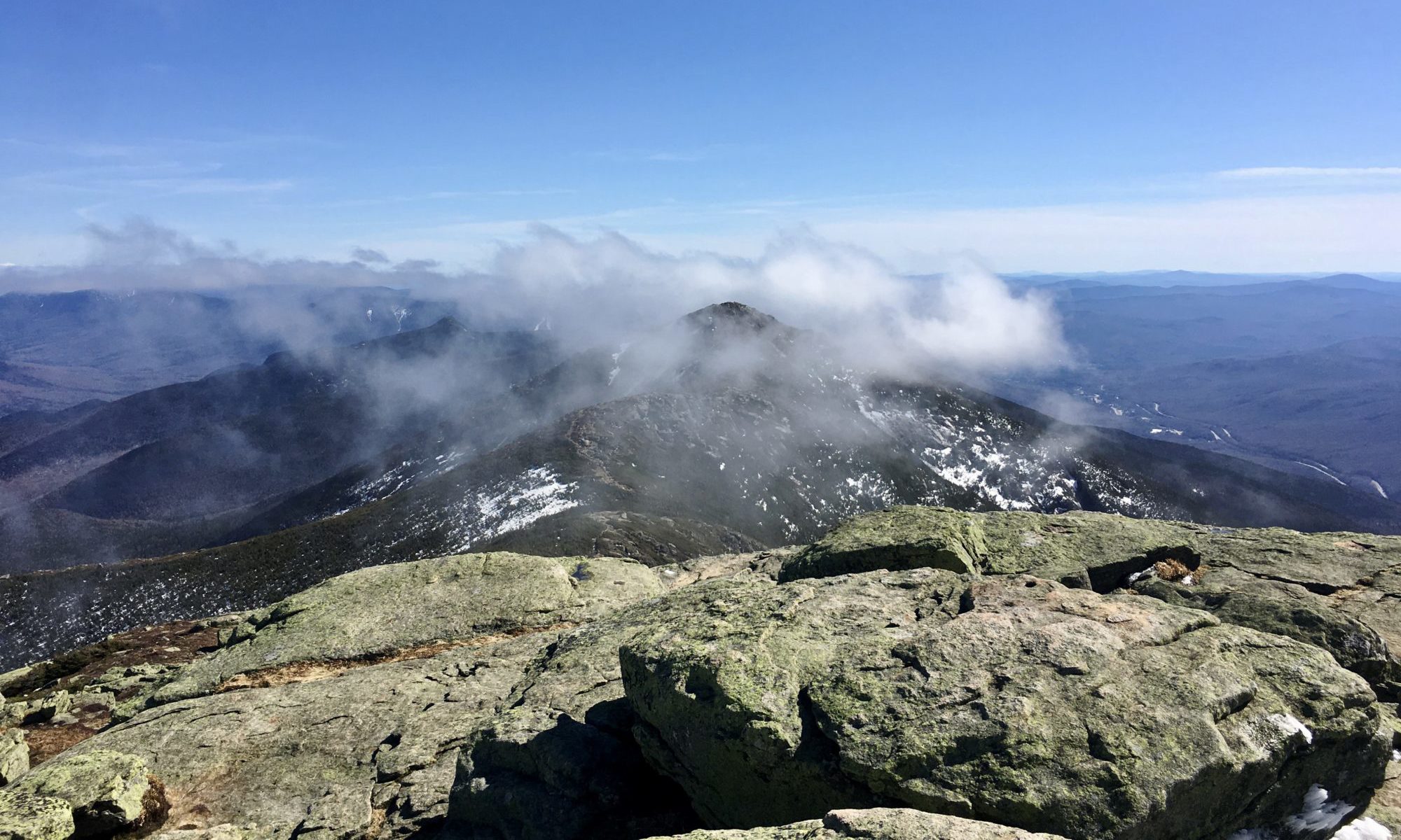
In southern Ecuador, field visits focused on trails located within the Sangay–Podocarpus biological corridor, a landscape of exceptional elevational range and connectivity that includes multiple Key Biodiversity Areas prioritized for conservation and sustainable use.
Padre Albino Route and the Tres Lagunas trail exposed the risks of promoting beauty without first organizing use. Padre Albino spans a single route with two distinct realities: one section benefits from relatively easy access and strong ecological integrity; another carries deep cultural and religious meaning, shaped by pilgrimage and collective memory, but requires long travel times and careful logistical planning.
Both sections share the same trail. They do not yet share a unified management framework.
That gap matters. Without agreed roles, signage standards, and shared responsibility, increased visitation risks eroding both conservation values and community relationships. Here, governance, not marketing, defines the next step.
Tres Lagunas raises the stakes further. Located in a fragile high-Andean ecosystem of wetlands, páramo grasslands, and natural lakes, the trail crosses habitats essential for water regulation. Access is relatively easy. The terrain is not.
Field observations confirmed soil compaction, improvised crossings, limited signage, and gaps in visitor control. Livestock presence along the route compounds the risk. In this setting, infrastructure without land-use agreements becomes a revolving door of repairs rather than a solution.
The conclusion is direct: Tres Lagunas holds high ecological and experiential value, but without urgent intervention—trail redesign, wetland protection, access control—promoting this area could cause damage that later management will have difficulty undoing.
Trail Governance as Essential Infrastructure
If Tres Lagunas shows what happens when fragility meets access, El Baboso shows what becomes possible when governance leads.
The El Baboso trail, within the Awá Territory and also part of the Chocó–Darién biological corridor and within KBA ECU70, already functions as more than a visitor route. Community members use it for mobility, territorial monitoring, education, and a cultural resource. The forest teaches, and the trail carries that knowledge.
The field team documented strong ecological connectivity, with habitats vital for birds, amphibians, and other indicator species. But the most decisive factor was social. Indigenous governance, sustained through the Federation of Awá Centers of Ecuador, provides clear authority over access, use, and limits.
El Baboso offers the foundation for low-scale tourism oriented toward learning, research, and intercultural exchange. Planning can still happen before uncontrolled use takes hold.
One Lesson, Repeated Across Landscapes
Seen together, December’s field visits reveal a shared truth.
Tourism does not replace management. Trails succeed when governance arrives before crowds, when infrastructure follows clear decisions, and when communities shape how access works from the start.
Across corridors and KBAs, several priorities surfaced again and again:
- Clear governance and control of public use
- Signage that guides and educates
- Minimal, functional infrastructure designed for safety and durability
- Local capacity for guiding, interpretation, and visitor management
- Risk management that treats trails as socio-ecological systems
Together, these visits span three distinct biological corridors and multiple Key Biodiversity Areas, illustrating how shared principles of trail management must adapt to very different ecological, cultural, and governance contexts. Each site sits at a different point along the readiness curve. Some can still plan before pressure builds. Others must intervene urgently before opening wider. All demonstrate that potential alone does not equal preparation.
Pacing Trail Development
Ecuador’s corridors tell a powerful story: extraordinary biodiversity, living cultures, and communities invested in their landscapes. Trails can help carry that story, but only if they move at the pace of the territory.
December’s field visits did not ask how fast these places can grow. They asked how carefully they should proceed.
The answer, across ecosystems and cultures, remains consistent: access opens doors to sustainable tourism, but good governance and management protects the environment and communities, keeping those doors open.
This work is part of the Strengthening Ecotourism Capacity in Six Key Biodiversity Areas (KBAs) in Ecuador project, supported by the Critical Ecosystem Partnership Fund (CEPF) and Fundación Futuro Latinoamericano, and administered by Pan American Trails / World Trails Network – Hub for the Americas. We are grateful to the Indigenous authorities, community organizations, conservation partners, and local groups featured in these visits for sharing their time, knowledge, and commitment to the long-term stewardship of their territories.